
Best time and high seasonality
Compare recommended travel periods, typical demand seasons, weather comfort, and sky conditions across all twelve months.
- Average daytime high
- 28.8°C
- Average nighttime low
- 10.8°C
- Average rainfall
- 34.7 mm / month
1991–2020 monthly means for central Laikipia Plateau conservancy landscape; gridded regional estimates, not a forecast or a measurement for every part of the destination.
Weather and travel guidance
January at Laikipia Plateau is a comparatively dry planning month, often favouring firmer access while increasing dust and midday exposure. The destination is defined by a broad highland region of separate conservancies, ranches and community lands rather than one gated reserve. The 1991–2020 grid mean is about 28.8°C by day and 10.8°C overnight, with 34.7 mm of rain across the month; nearby sectors and elevations can differ. Wildlife remains mobile, so a species list is guidance rather than a sighting promise.
February at Laikipia Plateau is a comparatively dry planning month, often favouring firmer access while increasing dust and midday exposure. The destination is defined by a broad highland region of separate conservancies, ranches and community lands rather than one gated reserve. The 1991–2020 grid mean is about 30.6°C by day and 11.4°C overnight, with 19.8 mm of rain across the month; nearby sectors and elevations can differ. Wildlife remains mobile, so a species list is guidance rather than a sighting promise.
March at Laikipia Plateau is a transition month, when showers and bright intervals can both influence access and viewing. The destination is defined by a broad highland region of separate conservancies, ranches and community lands rather than one gated reserve. The 1991–2020 grid mean is about 31°C by day and 12.4°C overnight, with 50.7 mm of rain across the month; nearby sectors and elevations can differ. Wildlife remains mobile, so a species list is guidance rather than a sighting promise. Plan the day around an early start, realistic transfer time and the route or activity authorised by.
April at Laikipia Plateau is a wetter planning month, with showers that can soften unsealed approaches and change wildlife distribution. The destination is defined by a broad highland region of separate conservancies, ranches and community lands rather than one gated reserve. The 1991–2020 grid mean is about 31°C by day and 13.1°C overnight, with 108.1 mm of rain across the month; nearby sectors and elevations can differ. Wildlife remains mobile, so a species list is guidance rather than a sighting promise.
May at Laikipia Plateau is a transition month, when showers and bright intervals can both influence access and viewing. The destination is defined by a broad highland region of separate conservancies, ranches and community lands rather than one gated reserve. The 1991–2020 grid mean is about 29.9°C by day and 12.4°C overnight, with 69.7 mm of rain across the month; nearby sectors and elevations can differ. Wildlife remains mobile, so a species list is guidance rather than a sighting promise. Plan the day around an early start, realistic transfer time and the route or activity authorised by.
June at Laikipia Plateau is a transition month, when showers and bright intervals can both influence access and viewing. The destination is defined by a broad highland region of separate conservancies, ranches and community lands rather than one gated reserve. The 1991–2020 grid mean is about 29.4°C by day and 11.9°C overnight, with 55 mm of rain across the month; nearby sectors and elevations can differ. Wildlife remains mobile, so a species list is guidance rather than a sighting promise. Plan the day around an early start, realistic transfer time and the route or activity authorised by the.
July at Laikipia Plateau is a transition month, when showers and bright intervals can both influence access and viewing. The destination is defined by a broad highland region of separate conservancies, ranches and community lands rather than one gated reserve. The 1991–2020 grid mean is about 28.7°C by day and 11.1°C overnight, with 78.9 mm of rain across the month; nearby sectors and elevations can differ. Wildlife remains mobile, so a species list is guidance rather than a sighting promise. Plan the day around an early start, realistic transfer time and the route or activity authorised by.
August at Laikipia Plateau is a transition month, when showers and bright intervals can both influence access and viewing. The destination is defined by a broad highland region of separate conservancies, ranches and community lands rather than one gated reserve. The 1991–2020 grid mean is about 29.1°C by day and 11°C overnight, with 79.6 mm of rain across the month; nearby sectors and elevations can differ. Wildlife remains mobile, so a species list is guidance rather than a sighting promise. Plan the day around an early start, realistic transfer time and the route or activity authorised by.
September at Laikipia Plateau is a comparatively dry planning month, often favouring firmer access while increasing dust and midday exposure. The destination is defined by a broad highland region of separate conservancies, ranches and community lands rather than one gated reserve. The 1991–2020 grid mean is about 30.9°C by day and 11.5°C overnight, with 42.5 mm of rain across the month; nearby sectors and elevations can differ. Wildlife remains mobile, so a species list is guidance rather than a sighting promise.
October at Laikipia Plateau is a transition month, when showers and bright intervals can both influence access and viewing. The destination is defined by a broad highland region of separate conservancies, ranches and community lands rather than one gated reserve. The 1991–2020 grid mean is about 31°C by day and 12.2°C overnight, with 59.2 mm of rain across the month; nearby sectors and elevations can differ. Wildlife remains mobile, so a species list is guidance rather than a sighting promise. Plan the day around an early start, realistic transfer time and the route or activity authorised by.
November at Laikipia Plateau is a transition month, when showers and bright intervals can both influence access and viewing. The destination is defined by a broad highland region of separate conservancies, ranches and community lands rather than one gated reserve. The 1991–2020 grid mean is about 28.9°C by day and 12.4°C overnight, with 85.5 mm of rain across the month; nearby sectors and elevations can differ. Wildlife remains mobile, so a species list is guidance rather than a sighting promise.
December at Laikipia Plateau is a transition month, when showers and bright intervals can both influence access and viewing. The destination is defined by a broad highland region of separate conservancies, ranches and community lands rather than one gated reserve. The 1991–2020 grid mean is about 27.7°C by day and 11.2°C overnight, with 59.4 mm of rain across the month; nearby sectors and elevations can differ. Wildlife remains mobile, so a species list is guidance rather than a sighting promise.
- Travel recommended
- May to March
- Typical travel season
- High · January to February, September
- Weather comfort
- Excellent · January to February, September
How to read this: month icons show the typical sky and rain pattern; Weather grades broad travel comfort; Travel Seasons show typical demand and pricing. None is a forecast, and supplier periods vary.
Wildlife Overview
Wildlife to look for in Laikipia Plateau. Labels describe typical encounters in suitable habitat; season, conditions and time spent exploring all make a difference.
- Plains zebraSuitable visitor habitat; sightings vary by season, sector and guide effortLikelihood: Abundant
- African bush elephantSuitable visitor habitat; sightings vary by season, sector and guide effortLikelihood: Common
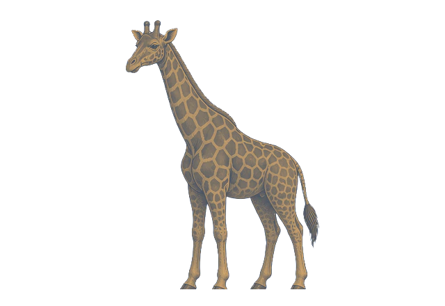
- GiraffeSuitable visitor habitat; sightings vary by season, sector and guide effortLikelihood: Common
- HippopotamusSuitable visitor habitat; sightings vary by season, sector and guide effortLikelihood: Common
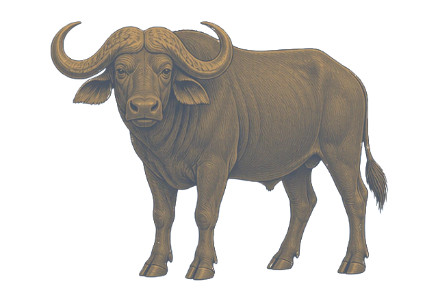
- African buffaloSuitable visitor habitat; sightings vary by season, sector and guide effortLikelihood: Common
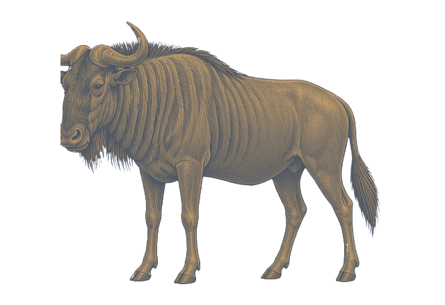
- Blue wildebeestSuitable visitor habitat; sightings vary by season, sector and guide effortLikelihood: Common
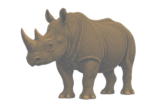
- White rhinocerosSuitable visitor habitat; sightings vary by season, sector and guide effortLikelihood: Common
- Black rhinocerosSuitable visitor habitat; sightings vary by season, sector and guide effortLikelihood: Common
- LionSuitable visitor habitat; sightings vary by season, sector and guide effortLikelihood: Common
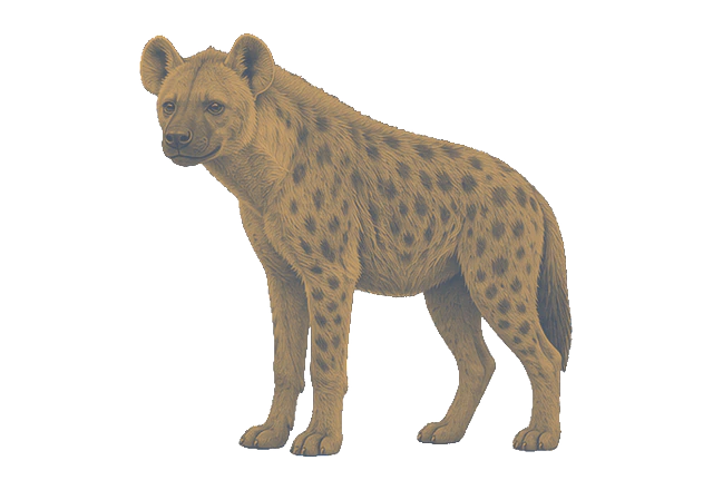
- Spotted hyenaSuitable visitor habitat; sightings vary by season, sector and guide effortLikelihood: Common





Things to do in Laikipia Plateau
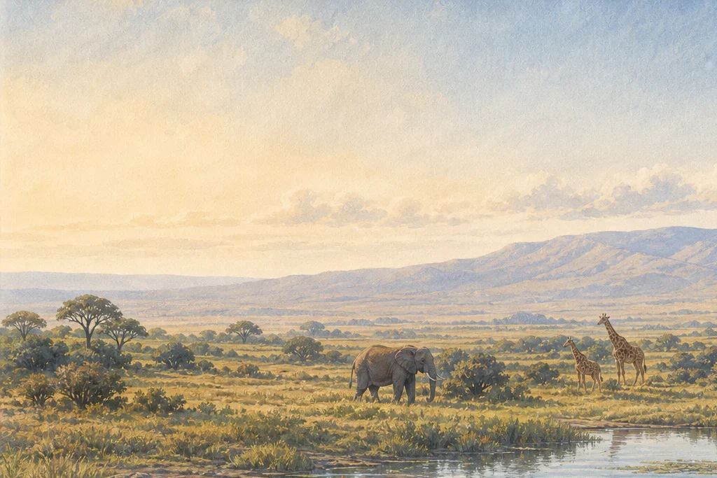
Conservancy wildlife drive
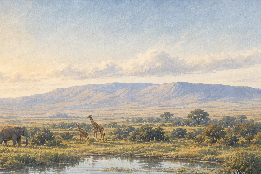
Conservancy wildlife drive at Laikipia Plateau should be arranged around the protected area's authorised routes, current conditions and guide requirements. The experience sits within a broad highland region of separate conservancies, ranches and community lands rather than one gated reserve, so route choice matters as much as the activity label. Allow time to observe rather than rushing between distant points.
Guided nature walk
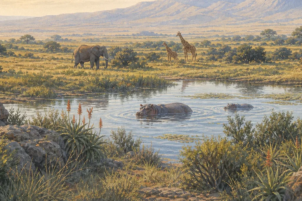
Guided nature walk at Laikipia Plateau should be arranged around the protected area's authorised routes, current conditions and guide requirements. The experience sits within a broad highland region of separate conservancies, ranches and community lands rather than one gated reserve, so route choice matters as much as the activity label. Allow time to observe rather than rushing between distant points.
Conservation interpretation
Conservation interpretation at Laikipia Plateau should be arranged around the protected area's authorised routes, current conditions and guide requirements. The experience sits within a broad highland region of separate conservancies, ranches and community lands rather than one gated reserve, so route choice matters as much as the activity label. Allow time to observe rather than rushing between distant points.
Habitats and flora
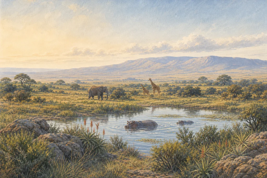
Laikipia Plateau is best understood through a broad highland region of separate conservancies, ranches and community lands rather than one gated reserve. Its connected managed rangeland, grassland, wooded drainage lines and conservation-use zones influence where animals, birds or marine life can be encountered and how a visit works on the ground. Conditions shift with rain, water levels, fire management, tide, vegetation growth and conservation operations, so no single viewpoint represents the whole area. Use the named habitat as an orientation tool, then let an authorised guide choose routes that fit current access and wildlife movement. Remain on permitted routes, avoid disturbing wildlife or vegetation, and check any seasonal closure or specialist-activity requirement before travel.