

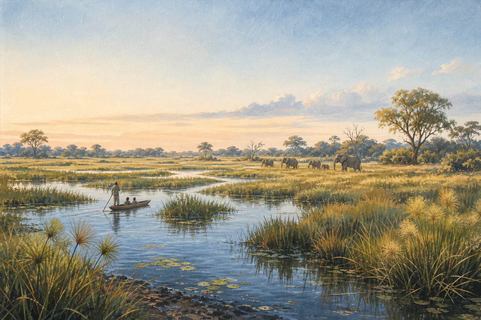
 Southern AfricaBotswanaBotswana is a landlocked Southern African country whose landscapes range from the Okavango Delta and Chobe River system in the north to the Makgadikgadi salt pans and broad Kalahari Basin. Gaborone is the capital. Seasonal rainfall, regional flooding and long distances create markedly different travel conditions between the northern wetlands, salt pans and drylands.
17 records
Countries
Compare operating context, gateways, client fit, seasonality, and pre-quote checks by country.
17 results
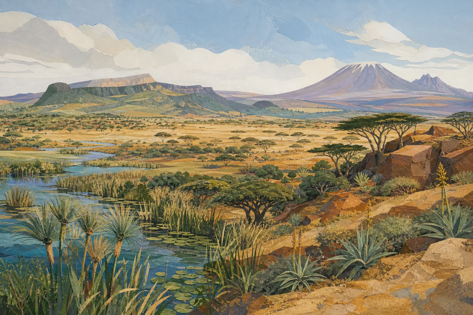
Southern AfricaBotswanaBotswana is a landlocked Southern African country whose landscapes range from the Okavango Delta and Chobe River system in the north to the Makgadikgadi salt pans and broad Kalahari Basin. Gaborone is the capital. Seasonal rainfall, regional flooding and long distances create markedly different travel conditions between the northern wetlands, salt pans and drylands.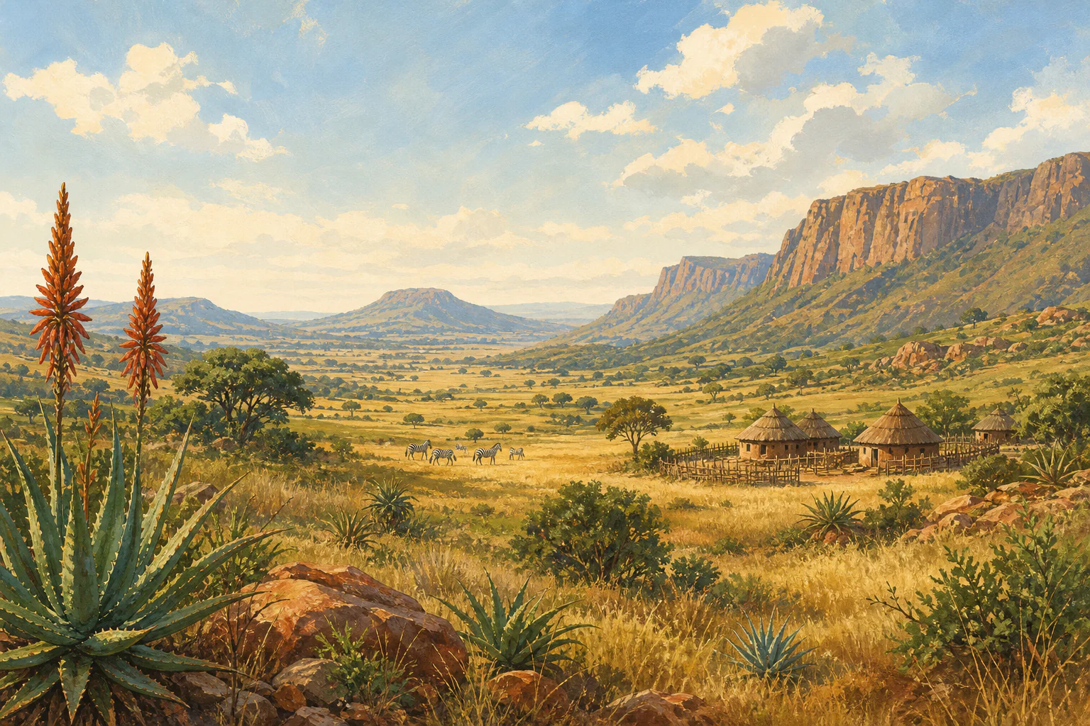 Southern AfricaEswatiniEswatini is a compact, landlocked kingdom between South Africa and Mozambique, combining highveld scenery, cultural centres and accessible protected areas within short road distances. Elevation creates meaningful local contrasts: the western highveld is cooler and wetter, while the eastern lowveld is warmer and generally drier, so route-level weather and road checks remain essential.
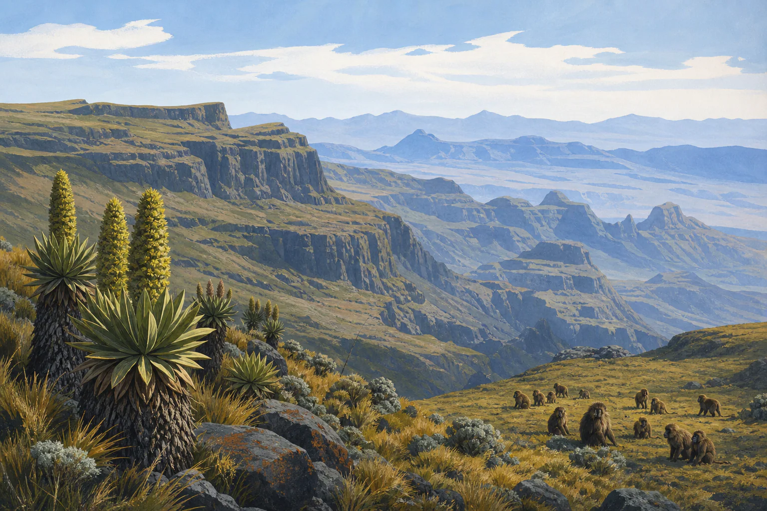 East AfricaEthiopiaEthiopia is a large Horn of Africa country extending from the central and northern highlands to the Rift Valley, lowland south and east, and the exceptionally hot Afar Depression. Addis Ababa is the capital. Elevation, separate rainfall regimes, long road sectors and festival demand create sharply different travel conditions between heritage routes, mountain regions and lowlands.
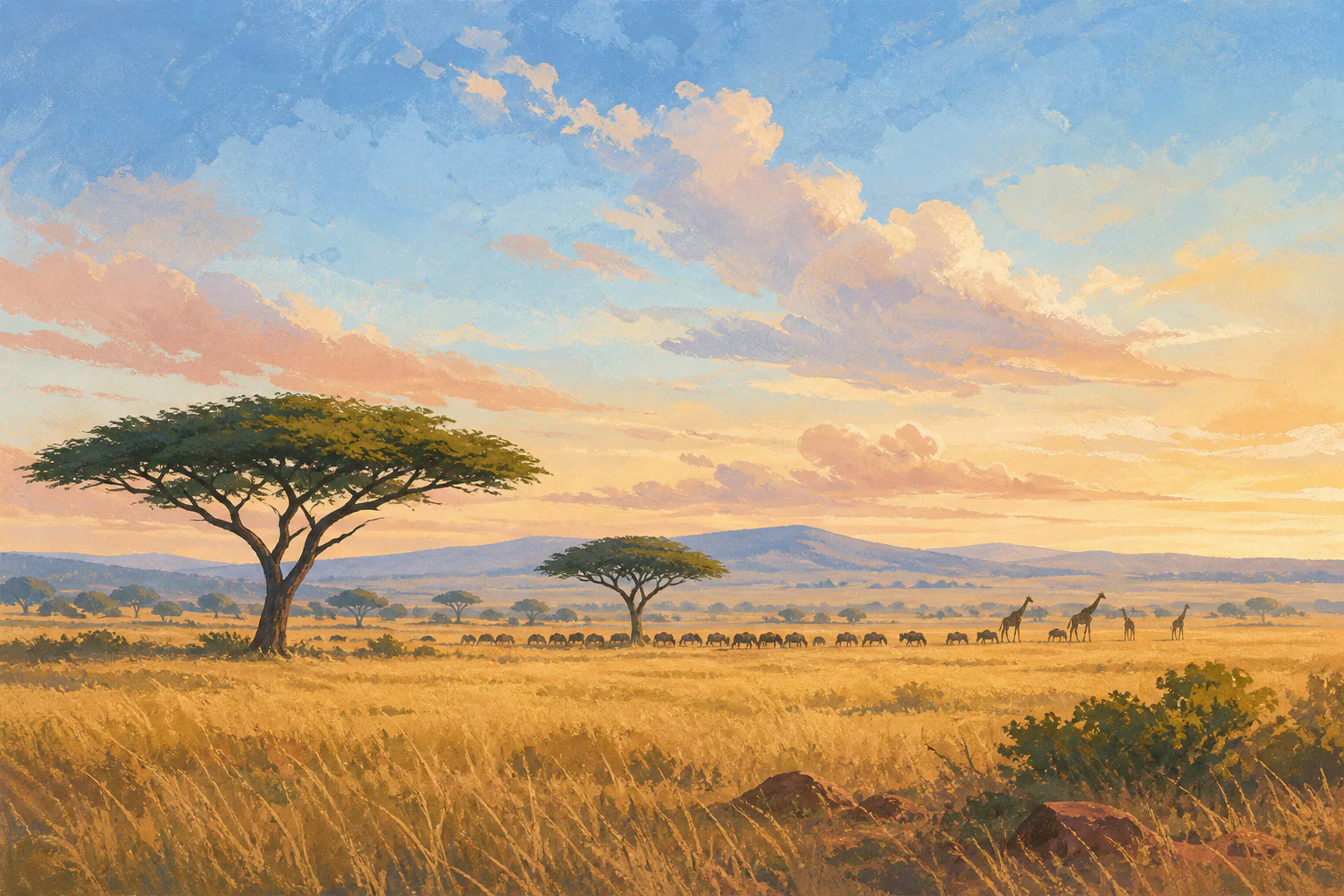 East AfricaKenyaKenya is an East African country spanning the Indian Ocean coast, central highlands, Rift Valley lakes, equatorial mountains, savannah systems and arid northern landscapes. Nairobi is the capital and principal international gateway. Two rainfall seasons, strong elevation contrasts and highly seasonal demand mean that coast, highlands, northern reserves and southern ecosystems need separate planning.
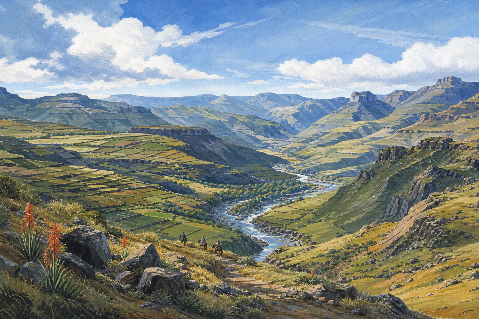 Southern AfricaLesothoLesotho is a high-altitude, landlocked mountain kingdom entirely surrounded by South Africa. Its travel character is defined by escarpments, valleys, Basotho communities, pony routes and dramatic seasonal change. Elevation is the central planning variable: passes and highland lodges can be much colder, windier or less accessible than Maseru, including snow and ice in winter.
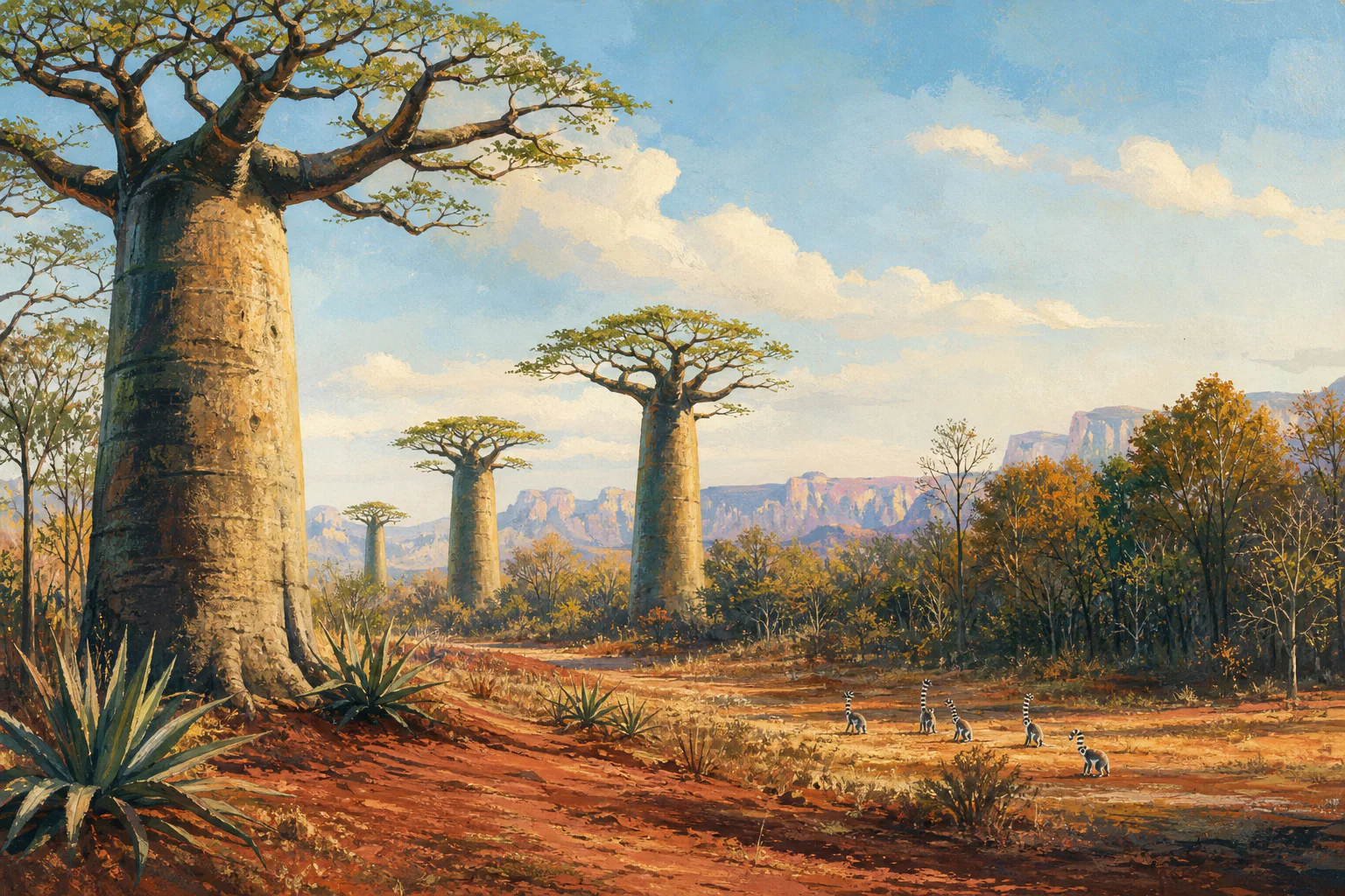 Indian OceanMadagascarMadagascar is a large Indian Ocean island with sharply contrasting eastern rainforest, central highlands, western dry forest and southern dryland climates. Long road journeys, limited domestic links and wet-season access make regional sequencing as important as the month. Strong planning names the exact protected areas, allows recovery time and treats wildlife likelihood as habitat- and guide-dependent rather than country-wide.
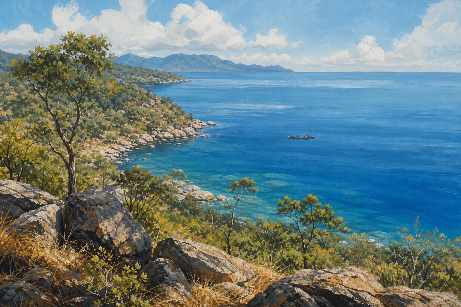 Southern AfricaMalawiMalawi combines Lake Malawi, the central plateau, northern highlands, the Shire Valley and a growing protected-area network within long north–south travel distances. Rain, temperature and cloud vary with altitude and region. Strong planning distinguishes lakeshore from highland conditions, respects wet-season access, protects realistic road times and links every wildlife likelihood to the specific parks and habitats on the route.
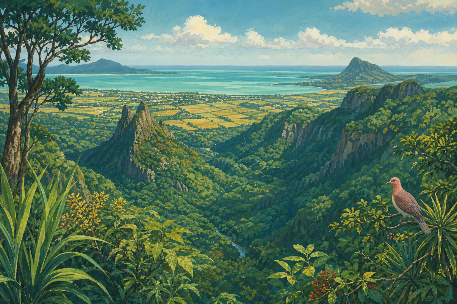 Indian OceanMauritiusMauritius is a compact Indian Ocean island where coast orientation and elevation create meaningful local differences in wind, rain, cloud and temperature. Warm conditions continue year-round without one sharply marked rainy season. Travel planning should distinguish the central plateau from the coast, match activities to wind exposure, monitor tropical-weather bulletins in season and separate rate periods from weather quality.
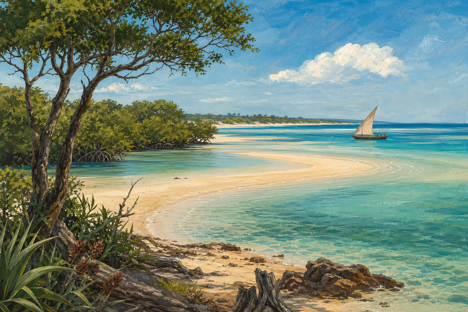 Southern AfricaMozambiqueMozambique stretches along the Indian Ocean from Maputo in the south to Cabo Delgado in the north. Its long coastline, islands, river systems and inland conservation areas create large regional differences in rain, heat, access and sea conditions. Travel planning should match the exact coast or protected area, allow resilient connections and distinguish the broad dry season from local wind, swell and weather.
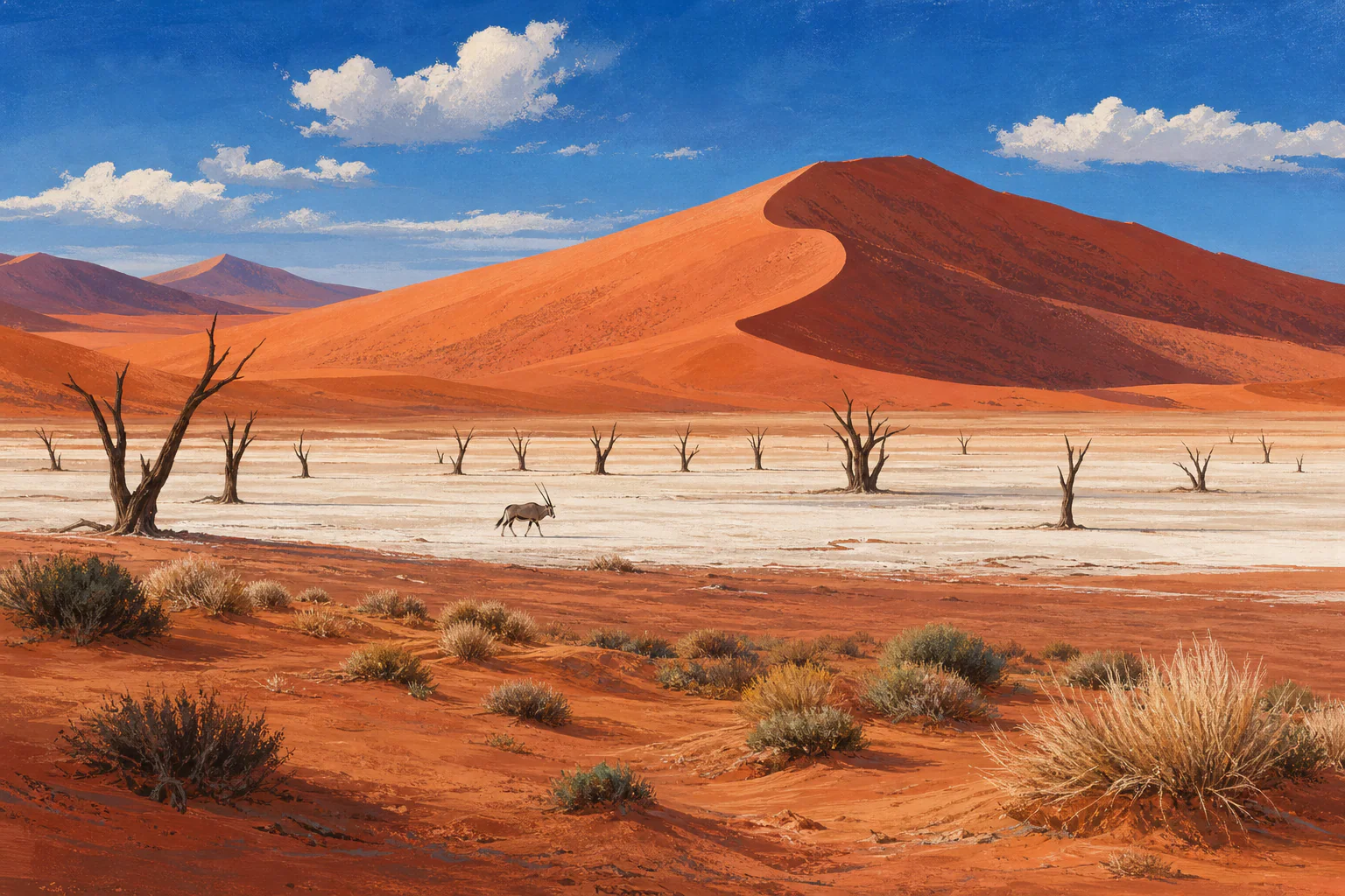 Southern AfricaNamibiaNamibia is a large, sparsely populated country of Atlantic desert, dune fields, gravel plains, escarpments, savannah and the river-fed northeast. Long distances and extreme regional contrasts define travel planning: the fog-cooled coast can be chilly while the interior is hot and dry, and summer rainfall is far more relevant in the north and northeast than along the Namib coast.
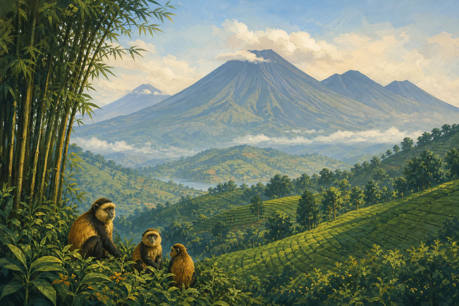 East AfricaRwandaRwanda is a compact, high-elevation East African country of central plateaus, the Virunga volcanoes, montane forests, Lake Kivu and the warmer savannah and wetlands of Akagera. Kigali is the capital and main gateway. Short driving distances do not remove major differences in rain, temperature, trail conditions and supplier demand between the eastern lowlands and western or northern highlands.
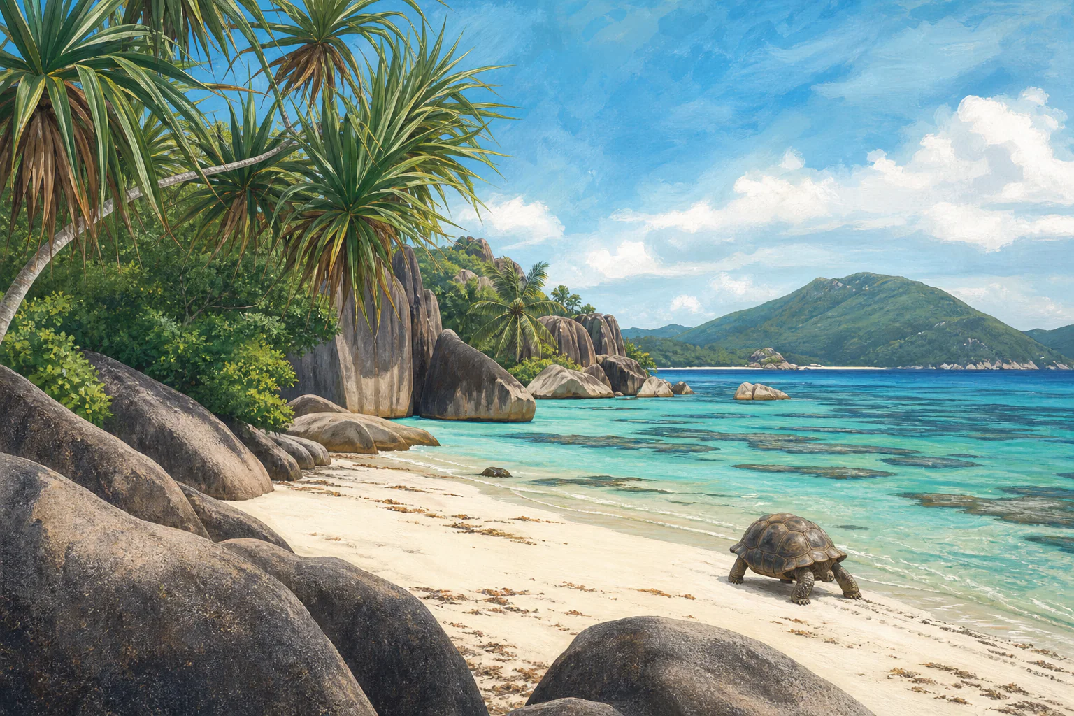 Indian OceanSeychellesSeychelles is an Indian Ocean archipelago whose inner granitic islands and distant coral atolls differ in weather, access and wildlife. Warm conditions persist year-round, while changing monsoon winds shape rainfall, cloud and sea state. Strong planning matches each island and coast to the month, protects ferry and small-aircraft connections, and separates festive or holiday demand from weather quality.
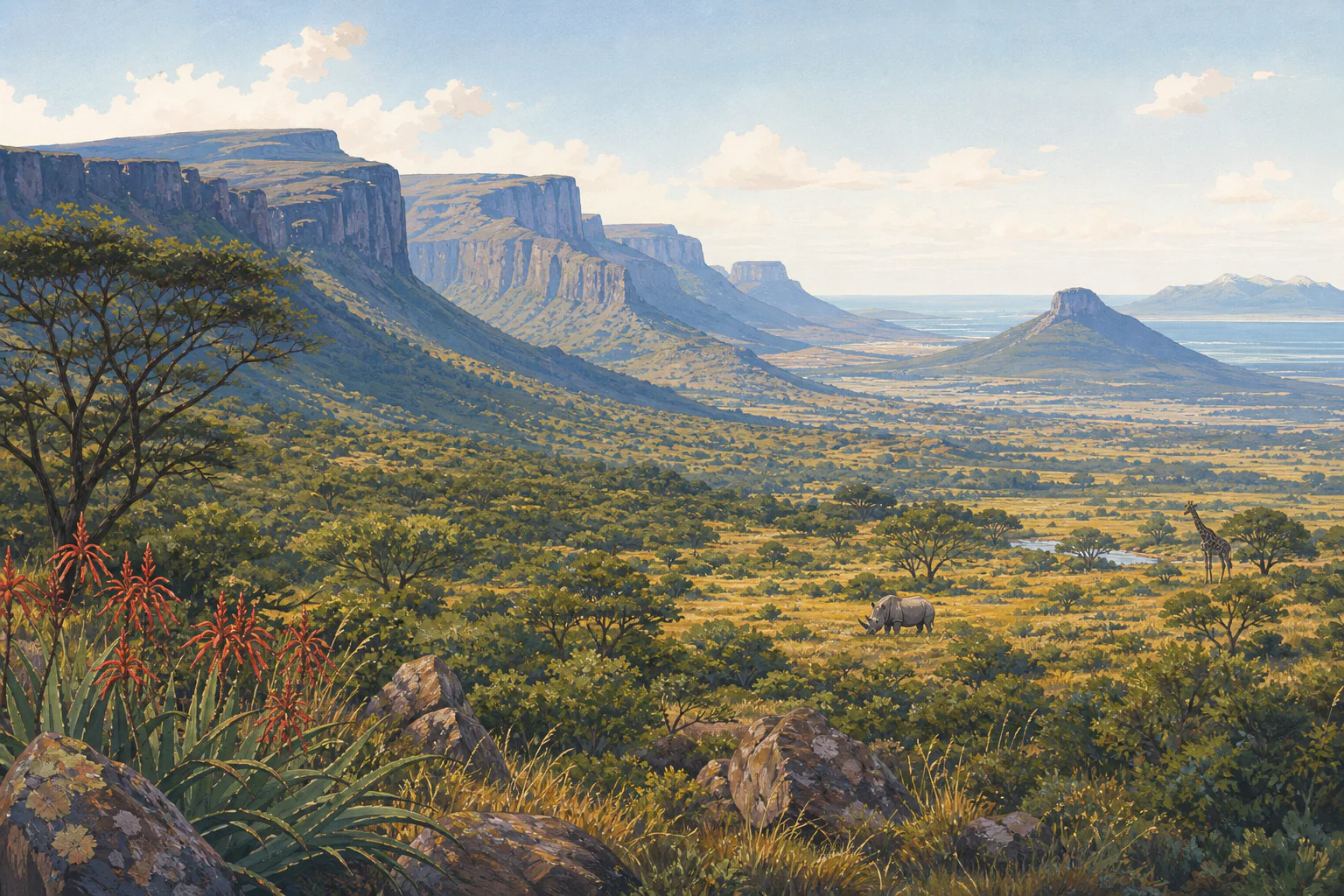 Southern AfricaSouth AfricaSouth Africa spans Mediterranean winter-rainfall coasts, summer-rainfall plateaus and escarpments, subtropical shores, semi-arid interiors and major protected areas. It is a year-round destination only because different regions peak at different times. A responsible plan begins with the route—Cape Town, Garden Route, KwaZulu-Natal, Gauteng, Kruger, Karoo or multiple regions—not a single national weather claim.
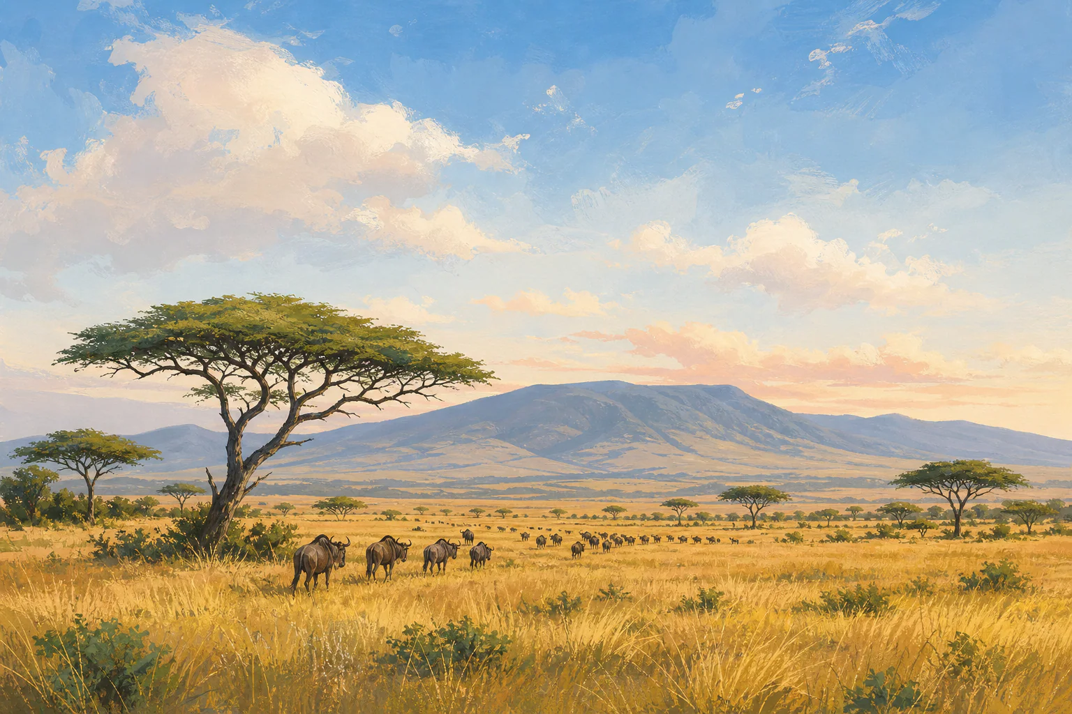 East AfricaTanzaniaTanzania is an East African country extending from the Indian Ocean and Zanzibar archipelago through the central plateau to the Rift Valley, great lakes and northern highlands. Its northern, southern and western protected-area networks, high mountains and coast have different rainfall, temperature, access and demand patterns, so a national calendar must be applied region by region.
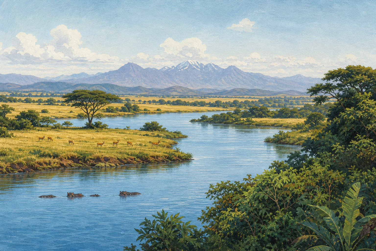 East AfricaUgandaUganda is an equatorial East African country where the Lake Victoria basin, Albertine Rift forests, high mountains, savannah protected areas and semi-arid northeast have distinct rainfall, temperature and access patterns. Kampala and Entebbe are the principal gateways. Two broad drier periods are useful planning signals, but western forests can receive rain in every month.
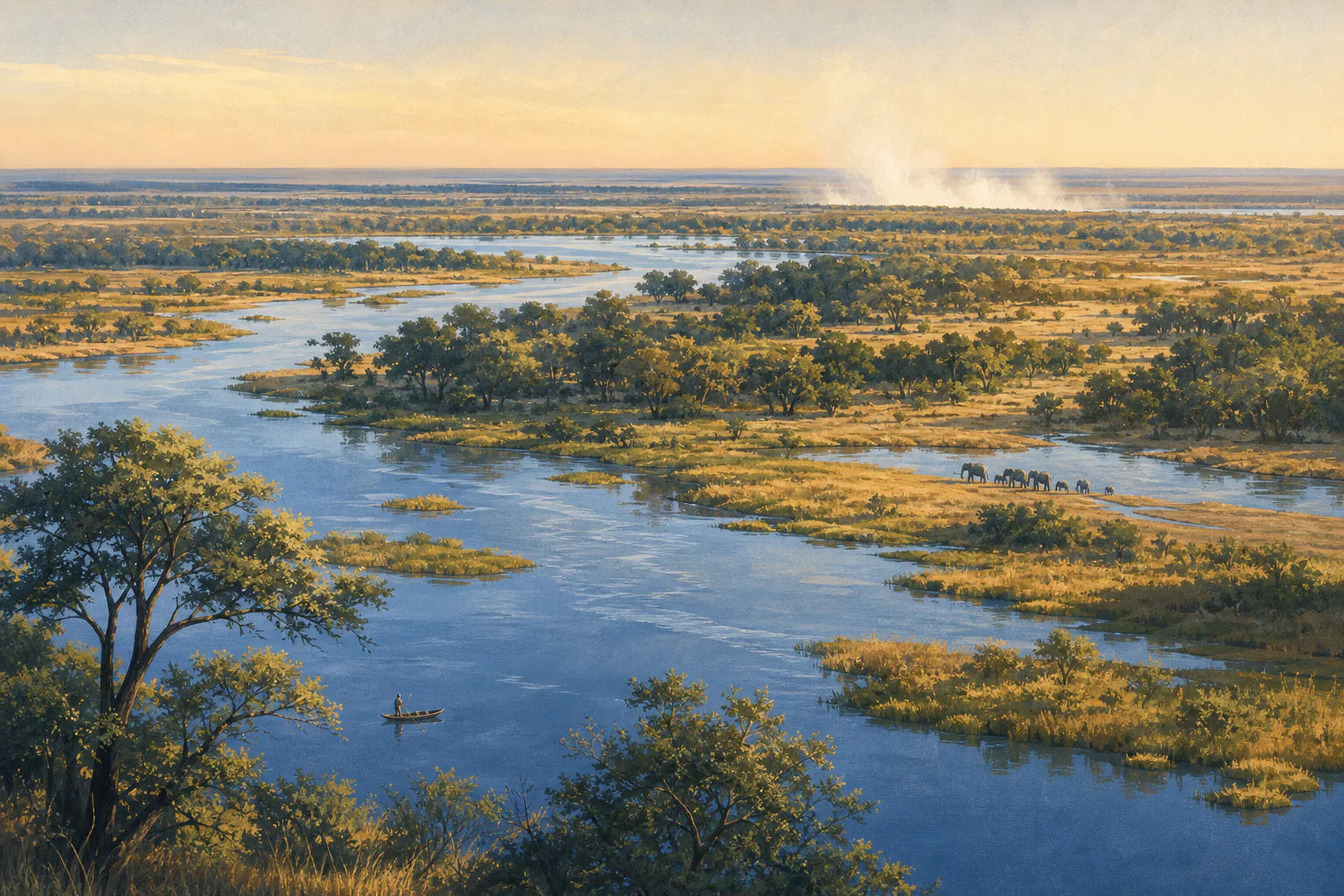 Southern AfricaZambiaZambia is a landlocked south-central African country shaped by major rivers, high plateaus, floodplains, woodlands and the Zambezi system. Lusaka, Livingstone, the Luangwa Valley, Kafue, Lower Zambezi and the western floodplains differ in heat, rainfall, water levels, access and operating season, so a country calendar must always be reconciled with the actual route.
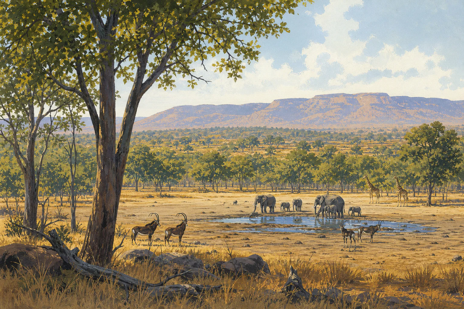 Southern AfricaZimbabweZimbabwe is a landlocked southern African country of highveld cities, granite landscapes, wooded plateaus, the Zambezi Valley, major protected areas and Victoria Falls. Elevation and river geography create important local differences: Harare is milder than the lowveld, Hwange becomes very hot before the rains, and waterfall conditions follow upstream hydrology as well as local weather.